Vilsund
Marina near Vilsund Vest
Latitude
56° 52’ 57.7” NLongitude
8° 37’ 45.1” EDescription
Small cozy marina on the west side just south of the Vilsund Bridge.
NV Cruising Guide
Navigation
The lighted harbor can be entered at any time of day. At night there is strong light from the bridge.
When the wind is from the SW there is a north running current, when the wind is from the northeast the current goes south and in both cases can be up to 1.5 knots.
Berths
Moorings can be found at 2.5m water depth. Depending on the wind, the water level can vary up to 1 meter.
Surroundings
Shopping facilities are available at the nearby campsites.
About 100 metres to the south is a small wharf.
Marina Information
| Max Depth | 2.5 m |
Contact
| Phone | +45 2075 2504 |
| Please enable Javascript to read | |
| Website | http://vildsundhavn.simplesite.com/ |
Surroundings
Electricity
Water
Toilet
Shower
Internet
Grocery
Boatyard
Ramp
Public Transport
Comments
You can add comments with the NV Charts App (Windows - iOS - Android - Mac OSX).
You can download the current version at nvcharts.com/app.
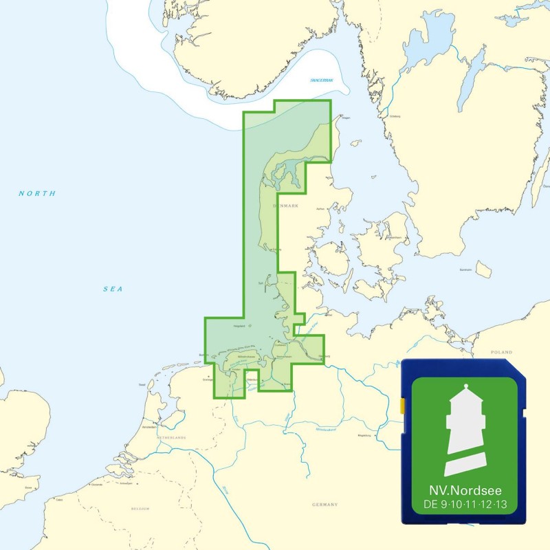
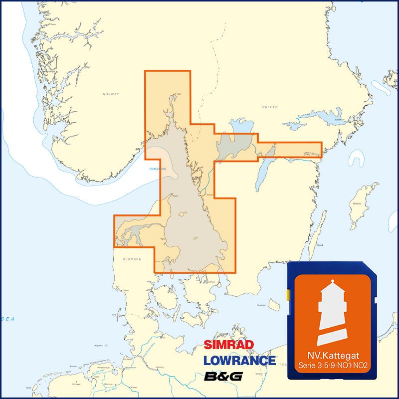
Buy nv charts covering this place Clicking one of the products will open the nv charts shop.
Places nearby
Related Regions
This location is included in the following regions of the BoatView harbour guide:


No comments or ratings have been added to this POI.