Kalvön
Marina
Latitude
58° 45’ 56.6” NLongitude
11° 8’ 51.7” EDescription
Fishing harbour with guest berths.
NV Cruising Guide
Navigation
The fairway to the port is not lit. Even during the day you have to navigate very carefully. Coming from the open sea, you pass the skerry Hättan close to the north on course 090°. When this is transversely down, one goes on course 035°. When you reach the line connecting the two nameless skerries, which you meet first, change course to 345-350°. You then follow the starboard skerry with sufficient distance, because there is a shoal there.
Berths
You lie in front of the stern anchor or alongside the bridge. Water depth 1.2 - 3 m. Good protection from swell in winds from all directions, wind protection is slightly worse in southerly or northwesterly winds.
Surroundings
Fishing harbour in the nature reserve with an alternation between the barren landscape on the west side and the vegetated inner part of the island. The way from Trossö to Lindön is worth a walk.
Marina Information
Contact
| Phone | +46 525 183 80 |
| Please enable Javascript to read | |
| Website | https://www.vastsverige.com/tanum |
Surroundings
Toilet
Comments
You can add comments with the NV Charts App (Windows - iOS - Android - Mac OSX).
You can download the current version at nvcharts.com/app.
Buy nv charts covering this place Clicking one of the products will open the nv charts shop.
-
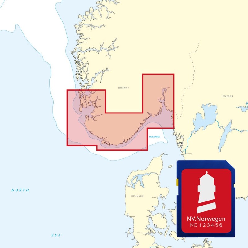
 NV Atlas Kartenkoffer Kattegat Serie 1, 2, 3, 5.1, 5.2 NV Verlag / NV Charts269,00 € incl. VAT, excl. Shipping
 -
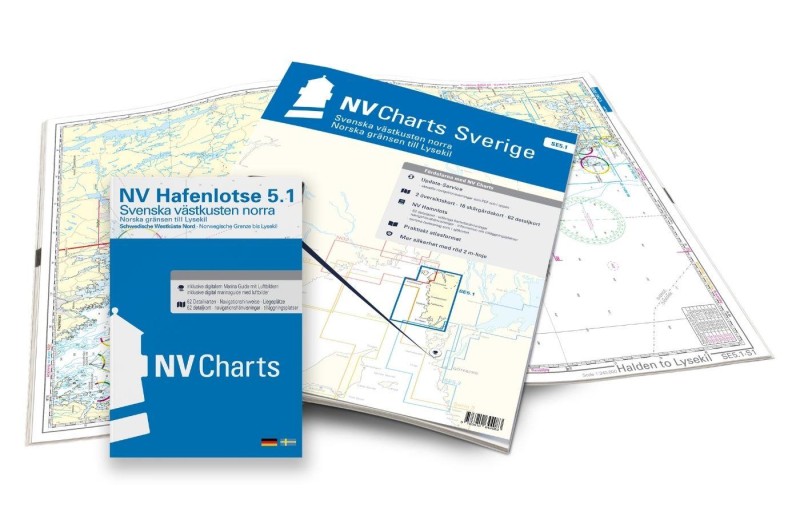 NV Charts Sverige SE 5.1 - Svenska Västkusten Norra NV Verlag / NV Charts69,90 € incl. VAT, excl. Shipping
 -
-

Places nearby
Related Regions
This location is included in the following regions of the BoatView harbour guide:
No comments or ratings have been added to this POI.